
War, occupation, civil war · Harbour and pier · Water and mills
Postwar orthophoto: the pier and a stone coastal dam
1945? Probable
A historic orthophoto of the Greek cadastre, probably from 1945, shows the railway pier at about 70 metres long, a smaller jetty to the north, the railway and the orchards. From the root of the pier a straight coastal dam of about 165 metres runs south, which may be the remains of the stone dam of the southern mills described in 1806.
Note: The mosaic is labelled '1945/1960'; 1945 is probable but not confirmed.
- Threads
- Harbour and pier, Water and mills
- Certainty
- Probable likely, but not fully proven
Pictures
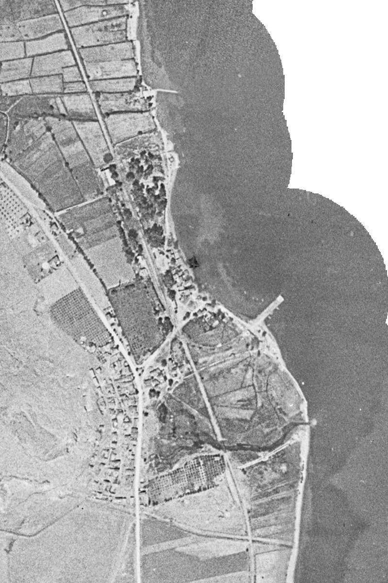
Historic orthophoto (1945 or 1960): the pier, the smaller jetty to the north, the railway and the orchards. Hellenic Cadastre, historic orthophoto layer 1945/60
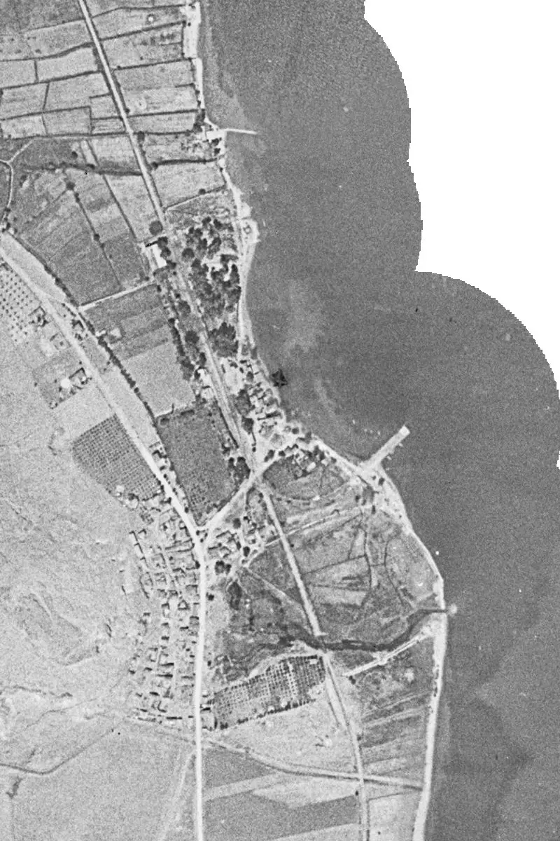
Sources
- Hellenic Cadastre (Κτηματολόγιο), historic orthophoto mosaic OFX 1945/1960
- Visit Myloi research dossier, 'R3 maps and aerial photographs' (georeferenced interpretation of DAI Film 14), October 2026
Also in this period
-
25 April 1941
General Mackay leaves by flying boat at dawn
Early on 25 April 1941 Major-General Iven Mackay, commander of the 6th Australian Division, flew to Crete in a Sunderland; the New Zealand official history says he left 'from Miloi'. At dawn the bay was full of smoke…
-
25 April 1941 – 26 April 1941
Patrick Leigh Fermor arrives in the armed caique Aghia Varvara
Lieutenant Patrick Leigh Fermor, then an intelligence officer with the British Military Mission, sailed the armed caique Aghia Varvara from near Sounion to Myloi, to evacuate General Wilson and Prince Peter if other…
-
26 April 1941
Stukas bomb the Crown Prince's yacht in the harbour
The Greek Crown Prince had handed his motor yacht over to the Royal Navy, and it was waiting at Myloi to help with the evacuation. In the afternoon of 26 April 1941 German dive bombers spotted it in the harbour and put…