
Plan Your Visit
Plan your visit
Getting to Myloi, finding your way around and practical answers to common questions.
Getting here
Myloi lies at the head of the Argolic Gulf in the Peloponnese, between Argos and Nafplio, on the old national road from Argos towards Tripoli.
Most visitors arrive by car. The nearest international airports are Athens and Kalamata; distances below are as the crow flies, the road distance is longer.
Regional buses in the Argolid are run by KTEL Argolidas; please check their current routes and timetables.
- Athens International Airport116 km as the crow flies
- Kalamata Airport82 km as the crow flies
Interactive map
Find your way around Myloi
Map data © OpenStreetMap contributors
All places on the map
History
- Archaeological site of Lerna · Directions (opens in a new tab)
- Castle on Pontinos · Directions (opens in a new tab)
- Vasilopoula tower (Tower of the Princess) · Directions (opens in a new tab)
- Myloi railway station · Directions (opens in a new tab)
- Locomotive shed (1886) · Directions (opens in a new tab)
- Bust of General Makriyannis · Directions (opens in a new tab)
Restaurants
- Faros · Directions (opens in a new tab)
- Five F (Ta Pente F) · Directions (opens in a new tab)
- Lykos · Directions (opens in a new tab)
- Ostria · Directions (opens in a new tab)
- Grammes · Directions (opens in a new tab)
- To Mikraki · Directions (opens in a new tab)
- Ta Souvlakia tou Kadi · Directions (opens in a new tab)
- Katsaounis · Directions (opens in a new tab)
- Aqua Beach Bar · Directions (opens in a new tab)
- Coffee Way · Directions (opens in a new tab)
- Ben's Cafe · Directions (opens in a new tab)
- Bakery I Lerni · Directions (opens in a new tab)
- Simeio Coffee · Directions (opens in a new tab)
Accommodation
- Helen's Rooms · Location to be added
- Akrogiali · Location to be added
- La Casa di Ercole · Location to be added
- Argoliki Thalassa · Location to be added
- Lerna Rooms · Directions (opens in a new tab)
- O Xenonas ton Mylon (The Myloi Inn) · Location to be added
- Miloi Rooms and Apartments · Location to be added
- Palataki Residence · Directions (opens in a new tab)
- Blue Bay Suites · Location to be added
- Kalypso Rental Apartment · Location to be added
- Pontinos Villa · Location to be added
- Pontinos Old House · Location to be added
- Hydra House Nafplio · Location to be added
- Coastal Horizon · Location to be added
- Almyres Luxurious Residences · Directions (opens in a new tab)
- Anatoli · Location to be added
- Villa Orama · Location to be added
- Elysian Garden Villa · Directions (opens in a new tab)
- Los Almyros · Directions (opens in a new tab)
- Lerna Olive Suites · Directions (opens in a new tab)
Village Essentials
- Pharmacy Iliana Katsarou · Directions (opens in a new tab)
- Myloi Regional Medical Office · Directions (opens in a new tab)
- Bakery I Lerni · Directions (opens in a new tab)
- Lerna Supermarket · Directions (opens in a new tab)
- Supermarket Ioanna Lili · Directions (opens in a new tab)
- Kiosk (periptero) · Directions (opens in a new tab)
- Car wash K&K Car Protect · Directions (opens in a new tab)
Attractions
- Springs of Lerna · Directions (opens in a new tab)
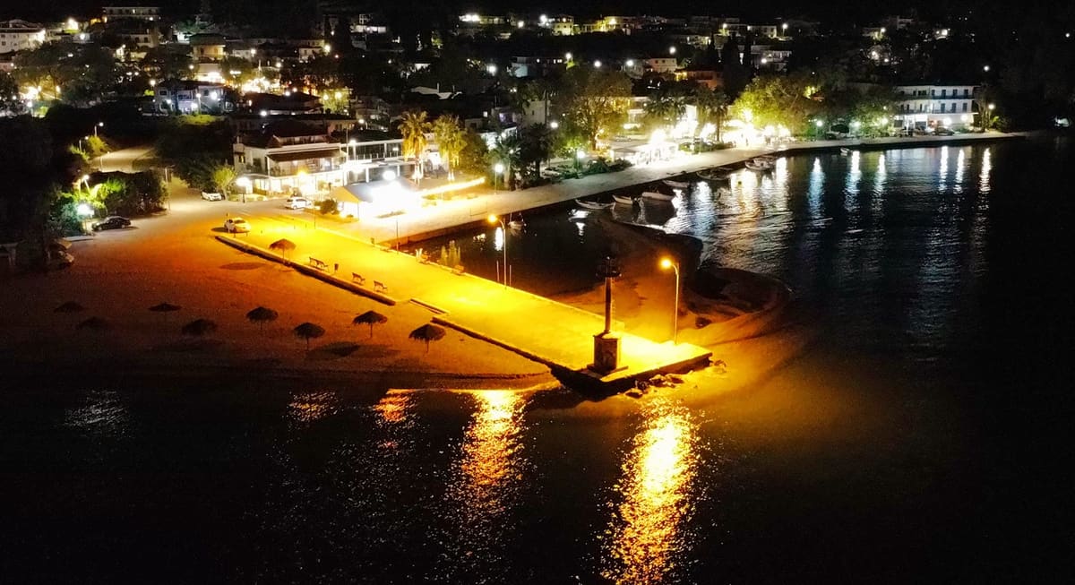
- Pier and lighthouse · Directions (opens in a new tab)
- Myloi beach · Directions (opens in a new tab)
- Chapel of Profitis Ilias · Directions (opens in a new tab)
- Church of the Holy Apostles · Directions (opens in a new tab)
- Church of Agios Dimitrios · Directions (opens in a new tab)
Frequently asked questions
Can I book a room or a table through Visit Myloi?
No. Visit Myloi is an information site. Each listing links to the host's or restaurant's own website or booking page.
What is the beach like?
A pebble beach runs along the village, with straw umbrellas in summer. Beach shoes are recommended.
How far are Nafplio and Argos?
By road, Myloi is about 11 km from Nafplio and about 10 km from Argos.
Is the archaeological site of Lerna open?
Opening hours change with the season. Check with the Ephorate of Antiquities of Argolida before your visit.
Where can I find a pharmacy or a doctor?
See Village Essentials for the pharmacy and the regional medical office. In an emergency call 112 or 166.
Contact
Questions, corrections or a business to add? Send Visit Myloi a message on Facebook or Instagram.