
Revolution and liberation · Harbour and pier · Travellers
Myloi's landing stage becomes the zero point of the map
1829 Proven
The French surveyors under Eugène Peytier, who made the first modern map of the Peloponnese, chose the landing stage of the mills at Lerna as the starting point for measuring heights, at 0.85 metres above the sea. The 'Débarcadère des Moulins' was also one of their triangulation stations.
- Where
- The pier and harbour
- Threads
- Harbour and pier, Travellers
- Certainty
- Proven confirmed by primary sources
Pictures
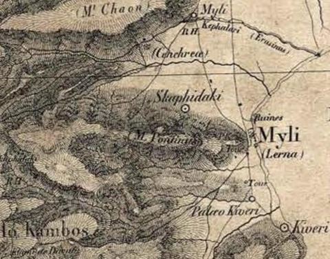
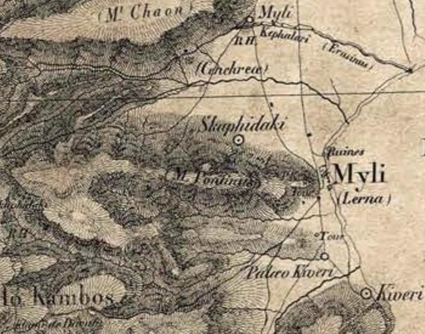
Crop of the Expédition de Morée map showing Myli (Lerna), Mt Pontinos, Skafidaki and Kiveri. Expédition scientifique de Morée (atlas)
Sources
- Expédition scientifique de Morée. Section des sciences physiques, t. II: Géographie, Paris 1834, geodetic part ('Moulins (embarcadère des), Lerne, point de départ pour le nivellement … 0.85 mèt.') Open (opens in a new tab)
Also in this period
-
1822–1826
A German volunteer describes fortified Myli
The philhellene Gottfried Müller from Bremen wrote that Myli had several long houses along the sea and a former Turkish garden with a high wall, which the Greeks had turned into a stronghold. The spring drove a mill with…
-
31 May 1823
Harbour master and police chief of Myloi, 1823–1824
Spyros Stathopoulos became "general harbour master and police overseer of Myloi" and served until early 1824. After him came Konstantinos Michalopoulos ("Astynomos"), Panagis Orfanos as acting police chief (March 1824)…
-
30 March 1824
The government arrives by sea at the mills
During the civil war of 1824, two brigs carrying the members of the government dropped anchor in the roadstead of the mills of Lerna. Nafplio was in the hands of their opponents, so the mills became their foothold on the…
-
25 April 1824
Colonel Stanhope comes ashore at the mills
The British philhellene Colonel Leicester Stanhope landed at the mills and went on to Kiveri, where he addressed the Greek senate.